Skip to Content Skip to Navigation Skip to Footer
Hawaii.gov
Text size:
  • Smaller | Reset | Larger
Government Directory
Engineering Division, Flood Control and Dam Safety logo
The State of Hawai'i, DLNR

Engineering Division, Flood Control and Dam Safety

  • Home
  • NFIP
  • Dam Safety Program
  • General Flood Control Plan
  • Map Viewers
  • Contact Us
Home ยป Map Viewers

Map Viewers

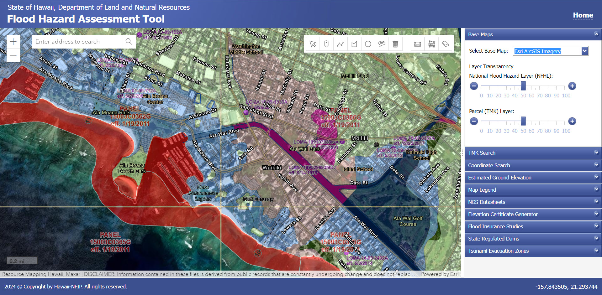
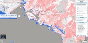
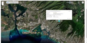
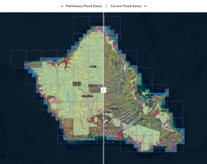
The following map viewers are frequently used to determine a property’s flood risk:

Hawaii Flood Hazard Assessment Tool (DLNR)
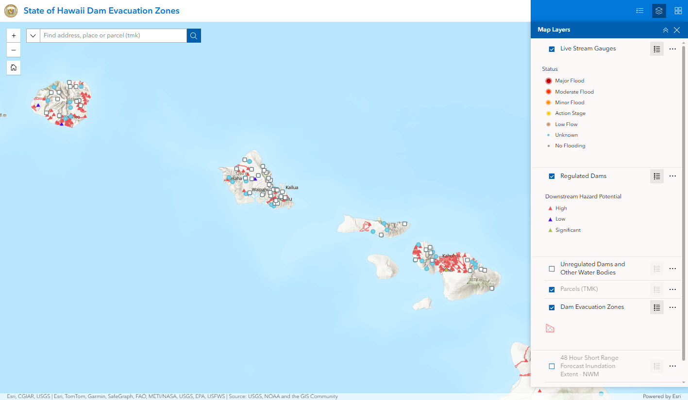
Hawaii Dam Inventory System (DLNR)

National Flood Hazard Layer (FEMA) Hawaii General Flood Control Plan (DLNR) Hawaii Sea Level Rise Map (PacIOOS)
Oahu Dam Evacuation Planning Tool (CCHon) City and County of Honolulu Preliminary Flood Map (2024) Hawaii Tsunami Evacuation Zone Maps (HiEMA)

Policies

  • Terms of Use
  • Accessibility
  • Privacy Policy

Contact Us

  • dlnr@hawaii.gov
  • (808) 587-0230
Powered by eHawaii.gov
Copyright © 2025, State of Hawaii. All rights reserved.